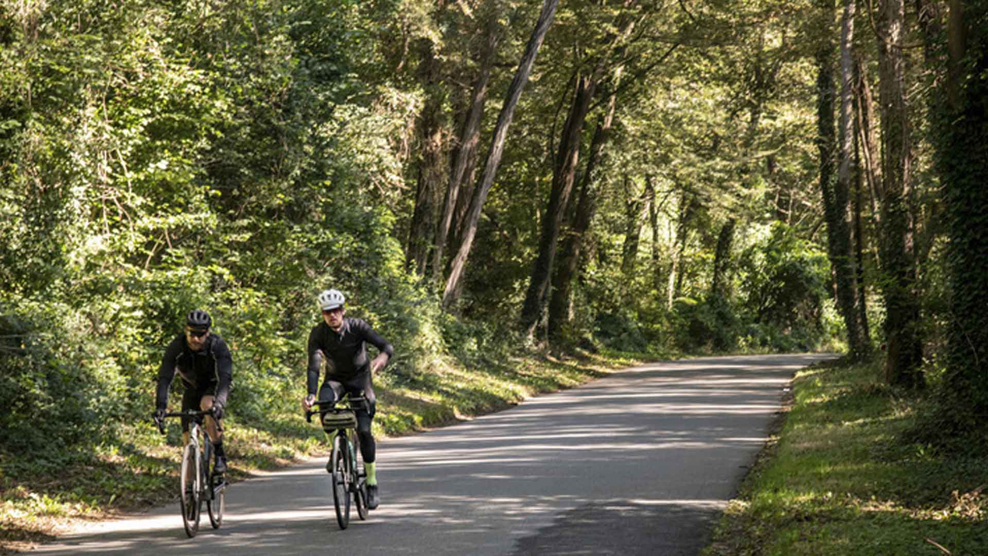
A Grand-Paris cyclist for 25 years, Adrien Laplanche came up with the idea of creating a map to help you enjoy Greater Paris by bike and on foot. Another way to explore the region.
Where did you get the idea to create a map of Paris's surroundings specifically for cycling and hiking?
drien Laplanche: Like any suburban dweller, when I started my higher education, I took out a subscription to the public transportation network. But after a month, I gave up the metro for my bike, in a bid to avoid rush hour and the eternally repetitive monotonous landscape of the RER. Getting around by bike requires a completely different approach to the local area. At the end of the 1990s, there were only a handful of us commuting by bike.
Let's not forget that, until 1999, bicycles weren't even allowed on bus lanes! In 2008, 20 mph zones were introduced, allowing cyclists to drive against the flow of traffic. I then realized that the old Parisian roads, as opposed to the boulevard network, constituted a good traffic system, generally quite protected from cars since they are slower. These roads are well known to historians, architects, urban planners and even Parisians. But these roads are overlooked by public policymakers, who prefer to develop bike lanes on major roads.
Today, there are more and more cycling infrastructures. What's the point of your map?
For me, cycling is all about freedom! It's a freedom you don't find when you're cycling behind other riders on the protected bike lane on Boulevard de Sébastopol. In reality, there are two traffic systems in Paris, piled one on top of the other, and no one talks about the second one for soft mobility, those ancient roads, some of which cross Paris while others go around the old city walls.
They are not only interesting for cycling but are also of great heritage interest. At first, I drew up a little map for my own use, but then, being a true commuter, I decided that I couldn't stop at the gates of Paris. I then enlarged the map to include a radius of almost 25 miles around Paris, from the Parc Naturel du Vexin (Val-d'Oise / Yvelines) to Rambouillet (Yvelines), via Ermenonville (Oise), Brie-Comte-Robert (Seine-et-Marne) and Verneuil-l'Étang.(Seine-et-Marne).
What are the special features of the map you've designed?
Usually, maps take a very "motorist" view of a region: first, you see the main traffic arteries, then the rest. This map changes the way you look at the local area. First, you see the calm itineraries: a map designed for soft mobility. It takes into account the topography - i.e. the relief - as well as old and new architectural interests. I wanted to paint a portrait of a region and its heritage. This approach to the suburbs is not well known. In Paris, and in every town and village, there's a logical network of historic routes that lead directly to the points of interest. Using these roads is a way of showing a real interest in the areas we cross.
Does your project have a political dimension?
Yes, because while I'm delighted to see cycling on the rise, it's a shame to build so many bike lanes on roads that were designed to connect people, to get them from one point to another, on roads that confine cyclists to pure commuting. Cycling above all allows you to get away from the traffic network, to rediscover the living countryside, which also means becoming aware of our heritage and history.
Interview by Joséphine Lebard / Enlarge Your Paris
Grand Paris cyclable - ©Jérômine Derigny pour Enlarge your Paris - francilienne-velo-8

